May 1, 2011
Introduction
46,876 miles: living museums of culture and artifact, the beautiful and bizarre.
Praise and complaints from an expert panel of truckstop conquistadors.
The Modern Explorer is an anthropologist studying and documenting the ways of the 21st century man and woman.
The Modern Explorer is here to help you and doesn't desire to hog knowledge all for himself.
General Double D - The Architect of the Interstate System
As a Kansas boy in the seemingly never-ending plains of the Midwest, Dwight D. Eisenhower understood the feeling of being a long way from anywhere. Dirt roads connected communities over great yawning distances that were all but impassable in the America of the 1890s.
A half a century later, as a military man, General Eisenhower understood the need for an independent republic to be able to deploy armies and supplies across the country with speed, to serve the causes of attack or defense.
In the early 1950s, the tangled network of two lane U.S. Highways that crisscrossed the North America, though improved from his boyhood in the turn of the century, still looked woefully ill-suited to efficient military or commercial transportation.
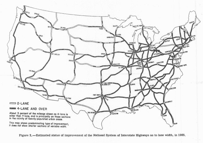
He and some other generals dreamed up a system of arteries, big four lane paths, to move and supply the various regions of these United States. They drew up diagrams with nice straight lines, the shortest distances from A to B, and imagined blasting roads through mountains, filling in swamps, and daring the deserts with highways they called “interstates.”
Detroit provided the sleek automobile, and Washington provided the hard asphalt. It was a match made in heaven, a love affair that is still ongoing.
They applied the reason and relentless logic of the 1950s to the plans, choosing to number north to south interstates with odd numbers and west-east passages with even numbers.
They started the interstate numbering in southwest California, so that the western most north-south interstate was I-5, going from Mexico to Canada along the west coast. I-95 runs along the east coast from Miami, Florida to Houlton, Maine.
And I-10, the lowest numbered west-east route, goes from Santa Monica, California to Jacksonville, Florida. The most northern west-east passage, I-90 goes from Seattle, Washington to Boston, Massachusetts.
Each mile of the system is carefully inventoried and labeled with a little green sign, a mile marker that increases west to east and north to south.
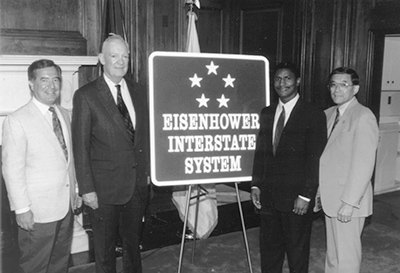
Concrete pathways of consistency and speed - the Eisenhower Interstate System - revolutionized travel for modern explorers.
Thank you General Double D!